Southern Sindh rewards a slower reading than the familiar Karachi excursion. Between the old Indus delta, the burial landscape at Makli and the granite hills of Nagarparkar, changing watercourses and trade routes explain why settlements flourished, moved and sometimes disappeared.
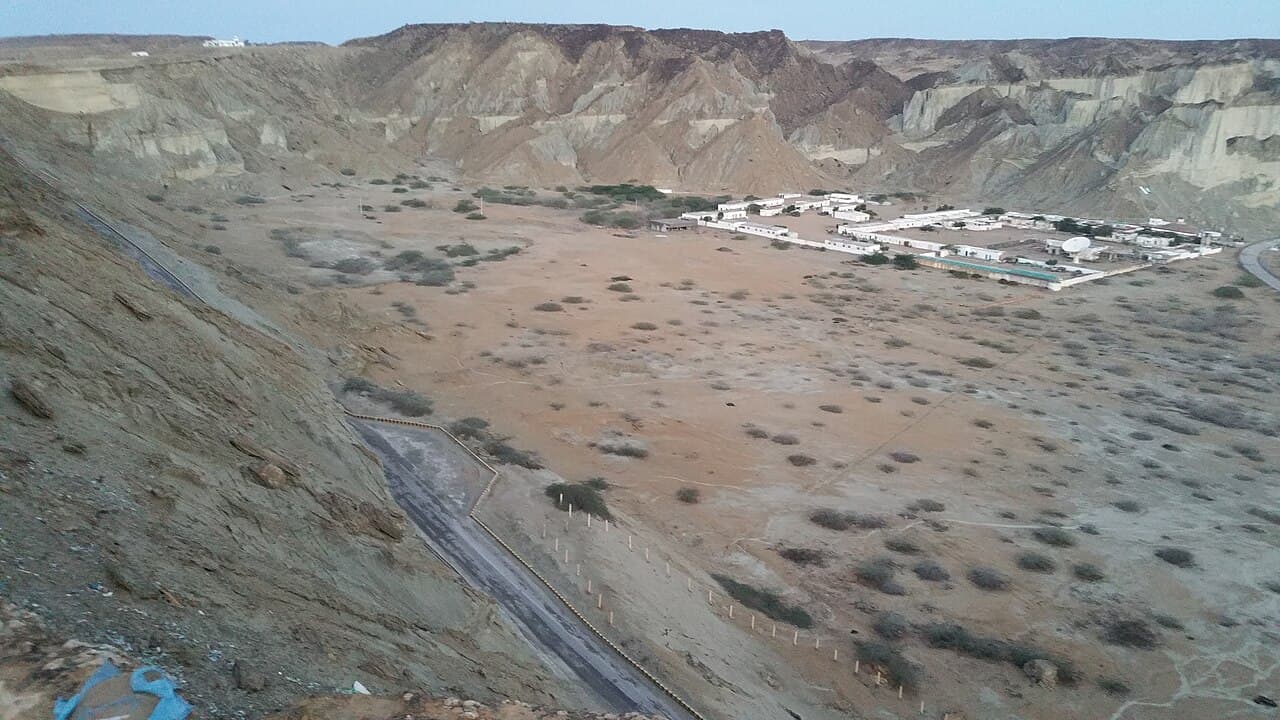
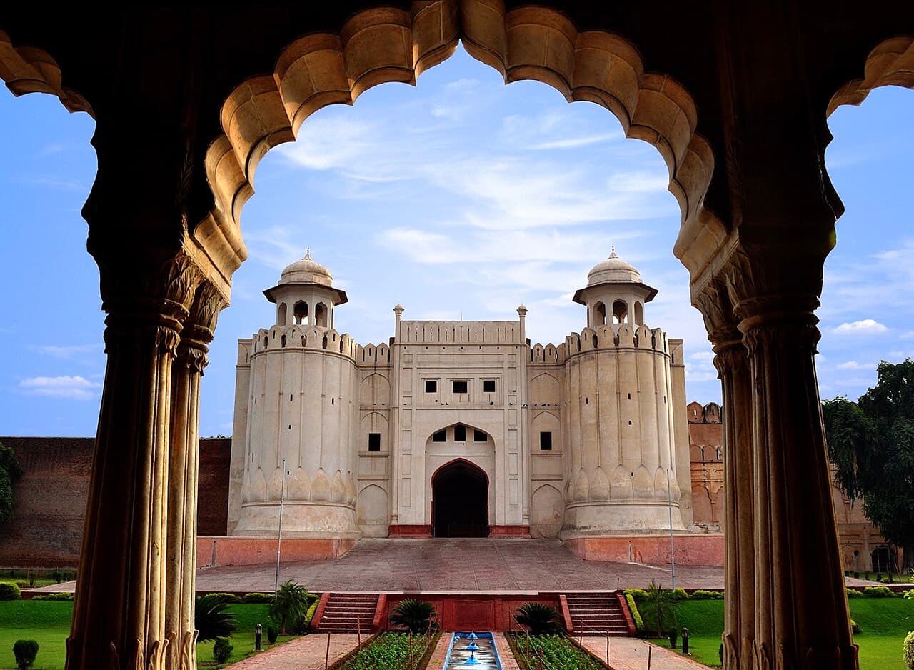
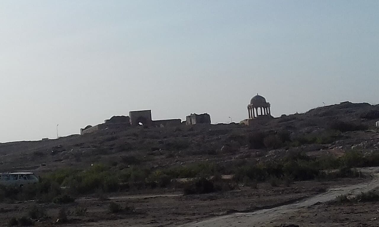
This guide treats Makli, Banbhore and Nagarparkar as three different historical settings rather than interchangeable ruins. The cover photograph shows Makli, the only featured image in this article that directly depicts one of the route's principal places.
At a glance
Start here
- Use Thatta and Mithi as planning gateways, but confirm transport and accommodation directly before departure.
- Read Makli as a vast funerary archive, Banbhore as a port settlement and Nagarparkar as a living cultural landscape.
- Allow separate field days for each area instead of attempting a rushed out-and-back circuit.
- Treat Nagarparkar's UNESCO status accurately: it is on Pakistan's Tentative List, not the World Heritage List.
01
Check the border boundary before treating this as a route
This is not a recommendation to drive from Makli to Nagarparkar. Nagarparkar is close to the India border. UK advice warns against all but essential travel within five miles of that border except official crossings; Australian advice says not to travel to India-border areas.
Check advice for your nationality and rules. If warnings cover a stop, use this as a desk-based guide to Jain heritage. A contact cannot override official advice; never approach an unmarked frontier.
Sources: UK Foreign, Commonwealth and Development Office; Australian Department of Foreign Affairs and Trade; United States Department of State02
Build the route around landscapes, not a monument count
A coherent journey begins near Thatta, where Makli and Banbhore illuminate two sides of lower Sindh's history. Makli preserves elite, religious and community memory in stone; Banbhore preserves the changing fortunes of a fortified settlement beside Gharo Creek. Nagarparkar then adds a different environmental frame: the Karunjhar hills rise at the edge of the Thar Desert and the Rann of Kutch, among Jain and other sacred places shaped by older mercantile networks.
Do not advertise this as a single easy road trip with fixed timings. Distances on a map conceal heat, road conditions, stops and the need to locate local services. A sound plan gives the Thatta cluster at least one dedicated day and treats the onward journey to Mithi and Nagarparkar as another stage. Confirm the final approach with the relevant accommodation or a local operator, especially if your plan includes minor monuments away from the principal settlements.
- First cluster: Makli and Thatta, with time to understand the necropolis rather than photograph one tomb.
- Second cluster: Banbhore and the creek-side archaeology of an earlier commercial landscape.
- Third cluster: Nagarparkar, Karunjhar and the dispersed temples of the Thar borderlands.
03
At Makli, follow chronology and craft
Makli is not a single mausoleum. UNESCO describes a funerary landscape covering about ten square kilometres, with roughly half a million tombs and graves created over about four centuries. Rulers, saints, scholars and other members of society were buried here. That scale changes the visit: the task is to notice how individual monuments belong to a long landscape of patronage, devotion and remembrance.
Begin with a small number of clearly identified monuments and compare their stone carving, brickwork, proportions and decorative vocabulary. UNESCO highlights the fusion of local building traditions with wider influences. That makes close looking more valuable than racing between names. Keep to established paths, never climb on masonry and do not touch carved surfaces. The site also faces decay, encroachment and environmental pressures, so restrained visitor behaviour is part of responsible interpretation.
- Photograph identification panels before taking detail shots so images retain their context.
- Use a wide view to show a tomb's relationship to the necropolis, then record a few craft details.
- Ask site staff which areas are appropriate to enter rather than assuming every opening is public.
04
Use Banbhore to understand the moving delta
The Sindh antiquities authority places Banbhore on the north bank of Gharo Creek and describes occupation from the first century BC to the thirteenth century AD. Its fortified mound, reservoir, industrial evidence and approaches to the water reveal a settlement whose meaning depended on exchange as much as defence. The authority identifies the medieval town as a port connected with regional trade.
The most useful question here is not whether one legendary label can explain the site. It is how water, walls and work fitted together. The official account notes that a shift in the Indus and silting contributed to the port's decline. Stand where the relationship between the mound and creek is legible, then connect the visible remains to that environmental change. Avoid turning debated identifications into certainty; archaeology is strongest when the surviving evidence remains central.
- Look for the defensive perimeter, entrances and internal organisation rather than isolated masonry.
- Relate the reservoir and industrial areas to the needs of a functioning settlement.
- Keep the creek in the story because silting and river change help explain the site's trajectory.
05
Approach Nagarparkar as a dispersed cultural landscape
Nagarparkar Cultural Landscape was submitted to UNESCO's Tentative List in 2016. That is a preliminary national nomination inventory, not World Heritage inscription. The UNESCO entry links the Karunjhar hills, the edge of the Rann of Kutch, Jain temples and remains of settlement to the routes and communities that once sustained this borderland.
Gori and Bodhesar are among the named temple groups, but the larger lesson is spatial. Religious buildings, water features, hills and former commercial movement belong in one account. A visitor who sees only facades misses how environmental change altered the coastline and trade. Because the monuments are dispersed, choose a modest set of stops with local guidance and enough daylight instead of collecting every pin from an online map.
- Describe the area as Tentative List heritage, never as a UNESCO World Heritage Site.
- Ask permission before photographing worshippers or community activity at living sacred places.
- Carry away all waste and avoid removing stone, pottery fragments or other material.
06
Choose gateways before choosing transport
Thatta is the logical base for Makli and the lower-delta sites, while Mithi is the practical urban gateway for planning the Nagarparkar leg. Pakistan's National Highway Authority schedule identifies the N-5 corridor through Karachi, Thatta and Hyderabad, but a legal route description is not a promise about present travel time, surface condition or public transport frequency. Verify those details close to departure.
Separate confirmed infrastructure from assumptions. Arrange the long transfer and the local field day as different bookings if necessary. Ask an accommodation provider or registered operator to identify the vehicle type, pickup point, included waiting time and the exact monuments proposed. Keep a flexible sequence so a closed or inaccessible minor site does not collapse the whole day.
- Confirm the overnight base before committing to a one-way transfer.
- Share an exact list of intended stops rather than requesting a vague desert tour.
- Check current PMD observations and forecasts for relevant stations before outdoor fieldwork.
07
Keep a three-column field notebook
Divide notes into observed, interpreted and unverified. A carved motif, wall line or water channel belongs under observed. A link between that feature and a trade network belongs under interpreted and should be tied to a source. A guide's colourful story belongs under unverified until it can be checked. This simple separation prevents a destination article from hardening attractive oral accounts into archaeological fact.
The three places also reward comparative notes. Makli shows how burial and patronage produce a landscape of memory. Banbhore shows how a fortified settlement responds to commerce and hydrology. Nagarparkar shows monuments embedded in a wider cultural and ecological system. The comparison creates a country-level story about southern Sindh without pretending that every period or community was the same.
Sources: UNESCO World Heritage Centre; Directorate General of Antiquities, Government of Sindh; UNESCO World Heritage Centre08
Leave with a route record, not a trophy list
At the end of each day, label photographs with the site and monument name while memory is fresh. Record which interpretation came from an official panel, which came from published heritage material and which remains a question. This makes later captions more accurate and reduces the temptation to apply a famous site's story to an unrelated ruin.
A successful southern Sindh route is measured by connections understood: tomb to patronage, port to creek, temple to landscape. It should also leave the places materially unchanged. Do not enter fragile areas for a better angle, fly equipment without confirmed permission or purchase archaeological material. The best souvenir is a precise account of how geography and human movement shaped the region.
Sources: UNESCO World Heritage Centre; Directorate General of Antiquities, Government of SindhUseful answers
Reader questions
Is Nagarparkar a UNESCO World Heritage Site?
No. Nagarparkar Cultural Landscape is on Pakistan's UNESCO Tentative List. Makli, by contrast, was inscribed on the World Heritage List in 1981. Use the two designations accurately when planning or publishing.
Sources: UNESCO World Heritage Centre; UNESCO World Heritage CentreCan Makli, Banbhore and Nagarparkar be covered in one day?
That would sacrifice the route's purpose and depends on unverified travel conditions. Treat Makli and Banbhore as the lower-Sindh cluster, then give the Mithi and Nagarparkar stage its own time and locally confirmed arrangements.
Sources: UNESCO World Heritage Centre; Directorate General of Antiquities, Government of Sindh; UNESCO World Heritage CentreDoes the official N-5 listing provide journey times?
No. The NHA schedule establishes the national highway alignment through Karachi, Thatta and Hyderabad, not a current timetable or road-condition report. Confirm operational details near the travel date.
Sources: National Highway Authority, PakistanRead the evidence
Sources and further reading
These sources support the relevant sections above. Plans and comparisons are editorial suggestions. Check operators for current arrangements.
- Historical Monuments at Makli, Thatta ↗UNESCO World Heritage Centre · Accessed 14 September 2026
World Heritage status, scale, chronology, architectural significance and conservation context of Makli.
- Banbhore Fort, Thatta ↗Directorate General of Antiquities, Government of Sindh · Accessed 14 September 2026
Banbhore location, occupation sequence, fortified layout, port role and decline linked to river shift and silting.
- Nagarparkar Cultural Landscape ↗UNESCO World Heritage Centre · Accessed 14 September 2026
Tentative List status, Karunjhar and Rann setting, Jain temple groups, trade history and environmental context.
- The National Highway Authority Act, 1991 ↗National Highway Authority, Pakistan · Accessed 14 September 2026
Official N-5 alignment through Karachi, Thatta and Hyderabad; does not support journey times or present road conditions.
- Pakistan Meteorological Department ↗Pakistan Meteorological Department · Accessed 14 September 2026
Availability of station-level official observations for places including Thatta and Mithi; snapshot values are not used as enduring climate claims.
- Regional risks - Pakistan travel advice ↗UK Foreign, Commonwealth and Development Office · Accessed 14 September 2026
Nationality-specific British advice for Balochistan, Khyber Pakhtunkhwa, Peshawar, Mardan, Nowshera and the India border.
- Pakistan Travel Advice and Safety ↗Australian Department of Foreign Affairs and Trade · Accessed 14 September 2026
Nationality-specific Australian advice to reconsider Pakistan overall and not travel to Balochistan, most of Khyber Pakhtunkhwa or specified border areas.
- Pakistan Travel Advisory ↗United States Department of State · Accessed 14 September 2026
Level 3 advice for Pakistan and Level 4 advice for Balochistan and Khyber Pakhtunkhwa, plus permission requirements.