The Salt Range is more than a mine stop. Across northern Punjab, exposed rock, salt extraction, sacred places, lakes and forts reveal overlapping natural and human histories. Khewra, Katas Raj and Rohtas work best as anchors for that larger story, not as attractions forced into one hurried day.
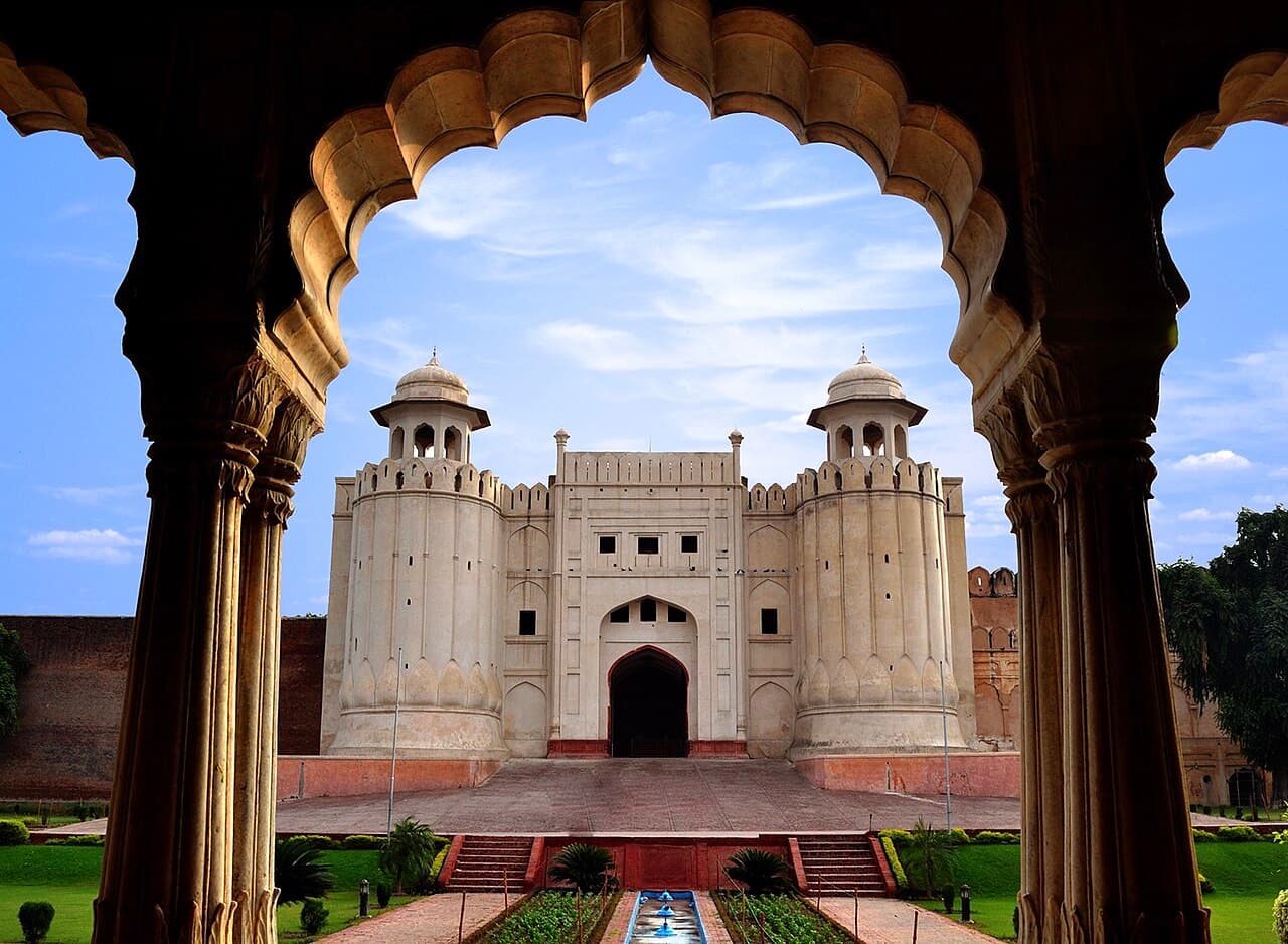
The cover image shows Lahore Fort as a wider example of Punjab's monumental heritage; it is not Rohtas or a Salt Range location. That distinction matters in a guide built around accurate place identification.
At a glance
Start here
- Divide the region into a Khewra and Katas Raj cluster and a separate Rohtas and Jhelum cluster.
- Distinguish UNESCO Tentative List status for the Salt Range from World Heritage inscription for Rohtas Fort.
- Add the Uchhali wetland complex only when time and locally verified access make a northern loop realistic.
- Let geology, water and movement connect the route instead of treating every stop as an isolated landmark.
01
Plan two clusters before drawing a circuit
Khewra and Katas Raj form the core Salt Range pair. Rohtas stands farther east near Jhelum and belongs to the same broad historical landscape, but it deserves a separate visit rather than a late-day add-on. UNESCO's Salt Range Tentative List entry itself connects geological exposures with Khewra, Katas Raj, Tilla Jogian and Rohtas, showing why the region can be interpreted as a system even when its sites are not adjacent.
A useful itinerary therefore has modules. Spend one field day on salt geology, mining history and the temple complex. Reserve another for Rohtas and its defensive landscape. The Uchhali lakes can become a third module for travellers focused on ecology. This structure remains useful even when current transport details change because it groups sites by the kind of attention they require, not by optimistic online driving estimates.
- Core module: Khewra and Katas Raj, with separate interpretation time at each.
- Eastern module: Rohtas Fort and the Jhelum gateway.
- Ecology module: the Uchhali Complex, subject to current local access and conservation guidance.
02
Begin with the range beneath the monuments
UNESCO's Tentative List description presents the Salt Range as a long geological formation between the Jhelum and Indus rivers, with unusually visible fossil-bearing strata and major salt seams. That deep-time record is the foundation of the route. Roads, mines, springs and settlements all respond to the shape and materials of the range.
At Khewra, separate three ideas: the geological formation of the salt, the history of extraction and the modern visitor operation. The UNESCO page supports Khewra's importance as an active mine and a place used for research and tourism, but it should not be stretched into precise visitor hours, ticket prices or guaranteed tour availability. Obtain those mutable details directly from the operator before travel.
- Ask which visible layers or mining features can be interpreted safely from public areas.
- Do not collect rock, salt or fossils outside authorised retail and visitor channels.
- Avoid repeating dramatic origin legends as established mining chronology.
03
At Katas Raj, read a complex rather than one temple
The Tourism Development Corporation of Punjab describes Katas Raj as a group containing the Satgraha, or seven temples, together with remains of a Buddhist stupa, other medieval temples and havelis around a pond. This layered composition is the key fact. Different structures and traditions occupy one cultural setting, so a visit should move from overall plan to individual details.
Look for the relationship between the pond, circulation routes and building groups before concentrating on ornament. The official brochure points to Kashmiri Hindu architectural characteristics in the temple ensemble. Religious traditions associated with the water belong to the site's meaning, but they should be presented as traditions rather than converted into scientific claims. Dress and photography should reflect that parts of a heritage complex may retain devotional significance.
- Identify Satgraha, stupa remains, havelis and later temples as distinct components.
- Keep doorways and worship spaces clear while observing architectural detail.
- Ask before photographing people, rituals or restricted interiors.
04
Give Rohtas enough time to reveal its defensive logic
Rohtas Fort is a UNESCO World Heritage Site, inscribed in 1997. UNESCO describes a sixteenth-century fortified complex covering about seventy hectares, with more than four kilometres of walls, sixty-eight bastions and twelve gates. Those dimensions make a quick gate photograph an inadequate visit.
Choose a route that compares an entrance, wall segment, bastion and water structure. The baolis show that defence also required reliable internal water. UNESCO also identifies a blend of architectural and artistic traditions. Rather than assigning every detail to one influence from appearance alone, use official interpretation to notice how military scale and decorative craft coexist. Protect your energy for walking; exact opening arrangements should be checked with the site authority, not inferred from old travel posts.
- Use gates to examine controlled movement into the fort.
- Use bastions and wall lines to understand surveillance and defence.
- Use the baolis to connect architecture with everyday logistical survival.
05
Let the Uchhali lakes complicate the dry-range image
The Ramsar annotated list describes the Uchhali Complex as three saline to brackish lakes in the Salt Range, covering 1,243 hectares and supporting important wintering waterbirds. This ecological counterpoint prevents a narrow picture of the region as rock, salt and masonry alone. Closed-basin water systems also make the relationship between geology and habitat visible.
A wetland visit requires a different pace from a fort. Observe from appropriate distances, minimise noise and follow any local restrictions. Do not promise a particular species sighting; wildlife is not scheduled. The Ramsar listing establishes international wetland importance, but it does not establish current road access, guides or visitor facilities. Verify those practical details locally and be willing to omit the module if conditions are unsuitable.
Sources: Ramsar Sites Information Service06
Match each field day to a verified gateway
Jhelum is the natural gateway for Rohtas, while the Khewra and Katas Raj module requires its own road plan. Pakistan Railways lists Jhelum among stations in its reservation-system information, which supports its role as a rail planning point but not any particular train, fare or arrival time. Search the live railway system or contact the operator when dates are fixed.
For outdoor conditions, use the Pakistan Meteorological Department rather than a remembered seasonal rule. Its observation page reports stations including Jhelum, Chakwal and nearby Punjab locations. A single observation is only a dated snapshot, so pair the latest forecast with local advice and the demands of the actual site: exposed walls at Rohtas, subterranean visitor areas at Khewra and open water at Uchhali all create different needs.
- Confirm the last practical return connection before beginning a long site walk.
- Carry water and sun protection without assuming shade or retail availability.
- Keep one module removable so a closure or weather change does not force unsafe improvisation.
07
Connect extraction, belief, defence and habitat
The strongest final account is not a list of four unrelated stops. Salt and exposed geology made the range economically distinctive. Water gathered communities and sacred meanings at Katas Raj, supplied a fortified population at Rohtas and created specialised wetland habitat around Uchhali. Routes across and around the range then linked these places to larger political and commercial worlds.
Keep status labels precise in captions and conversation. The Salt Range and Khewra Salt Mine entry remains on the Tentative List; Rohtas is inscribed World Heritage; Uchhali is a Ramsar wetland. These systems recognise different values and do not make every place the same kind of attraction. Accuracy here produces a richer route, because it lets geology, culture and ecology retain their own evidence.
Sources: UNESCO World Heritage Centre; UNESCO World Heritage Centre; Ramsar Sites Information ServiceUseful answers
Reader questions
Is Khewra itself a UNESCO World Heritage Site?
No. The Salt Range and Khewra Salt Mine are on Pakistan's UNESCO Tentative List. Rohtas Fort is separately inscribed on the World Heritage List. A Tentative List entry is not an inscription.
Sources: UNESCO World Heritage Centre; UNESCO World Heritage CentreDoes Pakistan Railways publish a fixed Jhelum connection in the cited source?
The cited general-information page confirms Jhelum as a reservation-system station, but it does not provide a dependable future itinerary for this guide. Check the live railway service for the chosen date.
Sources: Pakistan RailwaysWhy include a wetland in a Salt Range route?
Ramsar identifies the Uchhali Complex as three saline to brackish lakes within the Salt Range. It adds the region's hydrology and bird habitat to a story otherwise dominated by mining and monuments.
Sources: Ramsar Sites Information ServiceRead the evidence
Sources and further reading
These sources support the relevant sections above. Plans and comparisons are editorial suggestions. Check operators for current arrangements.
- The Salt Range and Khewra Salt Mine ↗UNESCO World Heritage Centre · Accessed 14 September 2026
Tentative List status, geological extent and significance, salt seams, Khewra and the range's associated cultural sites.
- Katas Raj Temple Complex ↗Tourism Development Corporation of Punjab · Accessed 14 September 2026
Components of the Katas Raj complex, including Satgraha, Buddhist remains, temples, havelis and the pond.
- Rohtas Fort ↗UNESCO World Heritage Centre · Accessed 14 September 2026
World Heritage status, sixteenth-century chronology, dimensions, gates, bastions, walls, baolis and architectural value.
- Annotated List of Wetlands of International Importance: Pakistan ↗Ramsar Sites Information Service · Accessed 14 September 2026
Uchhali Complex designation, area, three-lake composition, salinity and wintering-waterbird importance.
- General Information ↗Pakistan Railways · Accessed 14 September 2026
Jhelum's inclusion among named reservation-system stations; no schedule or fare claim is derived.
- Pakistan Meteorological Department ↗Pakistan Meteorological Department · Accessed 14 September 2026
Availability of dated station observations for Jhelum, Chakwal and other Punjab locations; specific values are not generalised.